MODIS的多分辨率分析ASTER水分类卫星数据外文翻译资料
2022-08-19 15:09:37
See discussions, stats, and author profiles for this publication at: https://www.researchgate.net/publication/253880049
Multi-resolution analysis of MODIS and ASTER satellite data for water classification
Article in Proceedings of SPIE - The International Society for Optical Engineering · October 2005
DOI: 10.1117/12.649848
CITATIONS READS
4 116
3 authors, including:
All content following this page was uploaded by Corina Alecu on 07 September 2014.
The user has requested enhancement of the downloaded file.
Multi-Resolution Analysis of MODIS and
ASTER Satellite Data for Water Classification
Corina Alecu, Simona Oancea
National Meteorological Administration
97 Soseaua Bucuresti-Ploiesti, 013686, Sector 1, Bucharest Romania corina.alecu@meteo.inmh.ro
Emily Bryant
Dartmouth Flood Observatory, Dartmouth College, Hanover NH 03755 USA
ABSTRACT
Moderate Resolution Imaging Spectroradiometer (MODIS) and Advanced Spaceborne Thermal Emission and Reflection Radiometer (ASTER) are multi-spectral sensors embarked on the EOS AM-1 (TERRA) satellite platform. Both sensors operate in different spectral bands, but also with different pixel resolutions.
The overall goal of this paper is to classify MODIS data to get an estimation of water surface area, very useful in the post-crisis periods for the decision makers at all levels.
To develop the classification technique, the strategy was to obtain MODIS and ASTER data acquired at the same time over the same location, and use the ASTER data as “ground truth”. Two lakes in the Bihor County of Romania were chosen and satellite data from October 31, 2002 were utilized. From the ASTER data we created a detailed water mask to be used as ground truth for the MODIS water classification. The percent water image derived from ASTER was superimposed on the MODIS image. A supervised classification for water was performed on the 3-band MODIS image using the feature space algorithm. The water surface area as measured from the MODIS classification was about 16% more than the ASTER ground truth-value. Due to the constraint that high spatial resolution satellite images are low temporal resolution, there exists a need for a reliable method to obtain accurate information from medium resolution data.
This approach provided useful information concerning the water classification from different resolution data that could help in the estimation of water surface area from MODIS imagery.
1.0 INTRODUCTION
Flooding events are quite common in Romania. The estimation of the surfaces covered by water in the post-crisis periods is of real use for the decision makers at all levels. The classification problem of water cover surfaces from satellite images was approached in many applications. Even a binary classification of satellite images from optical domain seems to be simple enough comparing with a multi-class classification. But there exits many other constrains. The cloud cover in the flood time is important and the spectral characteristics of water while and after floods are quite different from the clear water and it is difficult to distinguish. Another difficulty in water surfaces estimation is represented by the ground
Alecu, C.; Oancea, S.; Bryant, E. (2006) Multi-Resolution Analysis of MODIS and ASTER Satellite Data for Water Classification.
In Emerging and Future Technologies for Space Based Operations Support to NATO Military Operations (pp. P2-1 – P2-8). Meeting Proceedings RTO-MP-RTB-SPSM-001, Poster 2. Neuilly-sur-Seine, France: RTO. Available from: http://www.rto.nato.int/abstracts.asp.
RTO-MP-RTB-SPSM-001 P2 - 1
|
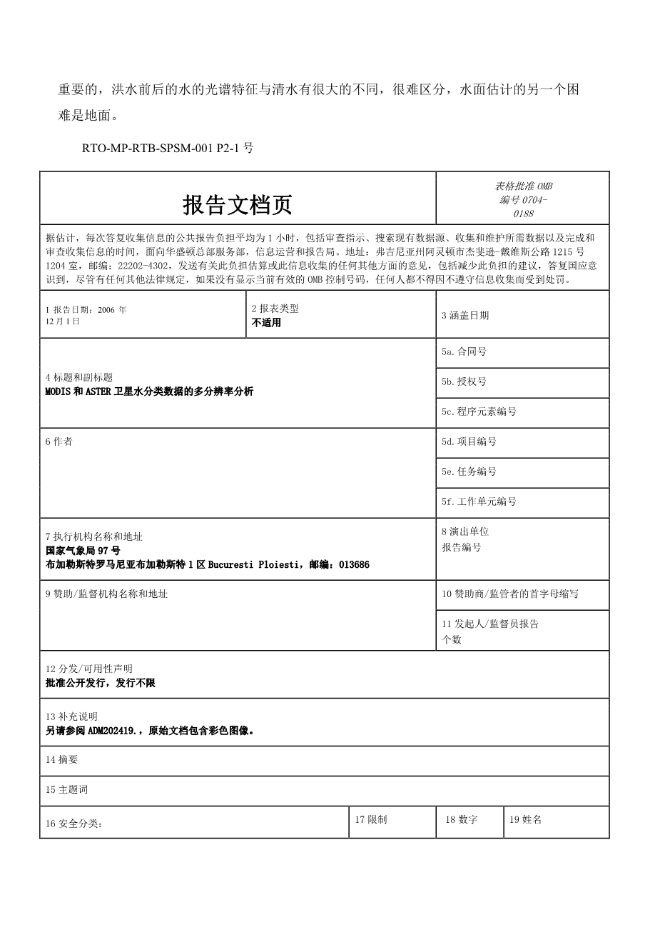
Report Documentation Page |
Form Approved OMB No. 0704-0188 |
||||
|
Public reporting burden for the collection of information is estimated to average 1 hour per response, including the time for reviewing instructions, searching existing data sources, gathering and maintaining the data needed, and completing and reviewing the collection of information. Send comments regarding this burden estimate or any other aspect of this collection of information, including suggestions for reducing this burden, to Washington Headquarters Services, Directorate for Information Operations and Reports, 1215 Jefferson Davis Highway, Suite 1204, Arlington VA 22202-4302. Respondents should be aware that notwithstanding any other provision of law, no person shall be subject to a penalty for failing to comply with a collection of information if it does not display a currently valid OMB control number. |
|||||
|
1. REPORT DATE 01 DEC 2006 |
剩余内容已隐藏,支付完成后下载完整资料
英语译文共 9 页,剩余内容已隐藏,支付完成后下载完整资料 资料编号:[411004],资料为PDF文档或Word文档,PDF文档可免费转换为Word |
||||


